


Pavlopetri: the oldest submerged city in the Mediterranean
Off the southern coast of the Peloponnese, beneath three or four metres of crystal-clear water, lie the streets, houses and tombs of a Bronze Age city that sank some three thousand years ago. It is the best-preserved submerged town in the world.
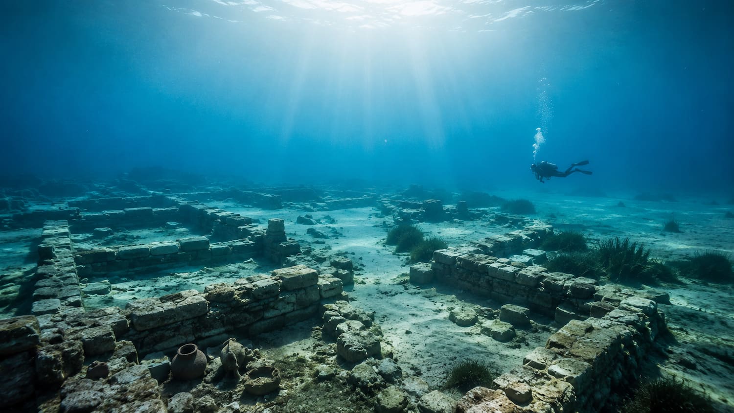
Photo: AI generated
Beneath the transparent water of Vatika Bay, at the southern tip of the Peloponnese, a diving mask is all it takes to see something that should not exist: streets. Not rocks shaped like streets, not a trick of shadow on the sand. Laid-out streets, foundation walls, thresholds, courtyards. At three or four meters deep, the seabed off Laconia holds an entire city, spread out beneath the light as if someone had pressed pause on it three thousand years ago.
Its name is Pavlopetri, and according to the current archaeological consensus it is the oldest submerged city in the world known in near-complete form.1
A city before Homer
Pavlopetri is not a shipwreck, nor a harbor that sank in classical antiquity. It is a Bronze Age settlement, inhabited from around 2800 BC (the Early Bronze Age) and occupied continuously for more than fifteen hundred years, until roughly 1100 BC.1 By the time this city had already stood for centuries, many generations still had to pass before the Homeric poems were written.
The people who lived here traded, wove, farmed and buried their dead in cist graves (stone coffins lined with slabs) and in chamber tombs cut beside the town.1 The visible remains include multi-room buildings, inner courtyards, defined streets and what archaeologists interpret as ritual and funerary spaces. It is urbanism: a complete town plan, on the scale and complexity of a Minoan or Mycenaean center of its time.
Its position was no accident. Facing the island of Elafonisos, on the sea route between the Aegean and the western Mediterranean, Pavlopetri controlled a natural passage for the trade in copper, ceramics and Bronze Age farm produce. Archaeologists regard it as an important commercial and textile center of its era.1
The sinking, slowly
Nobody watched Pavlopetri sink. There is no chronicle, no Greek myth that names it, no eruption or tsunami to explain it in a single day. The accepted explanation is a combination of earthquakes and coastal subsidence (the gradual sinking of land) that lowered the city in stages. Geological studies of the area point to at least three major seismic events, the last of which, around 1000 BC, would have left the settlement permanently underwater.1
The city was not razed: it was abandoned and then calmly swallowed by the sea. That is why the streets keep their alignment, the walls keep their line and the tombs keep their place. The sea did not destroy Pavlopetri; it archived it.
1967: the oceanographer who looked down
The city remained known only to local fishermen until 1967, when the British oceanographer Nicholas Flemming, of the Institute of Oceanography at the University of Southampton, identified it scientifically during a study of sea-level change in the Mediterranean.1 Flemming was studying the coastline, but when he looked down, he recognized what he was seeing, and in 1968 a team of archaeologists from the University of Cambridge carried out the first systematic survey of the site.1
For decades, Pavlopetri remained a name for specialists: hard to measure, hard to excavate, vulnerable to looting and to anchors. The water that had preserved it also shielded it from being fully seen.
2009: the city, whole for the first time
The turning point came in 2009, when a team from the University of Nottingham, working with the Greek Ephorate of Underwater Antiquities, launched a digital mapping project at the site.2 Using side-scan sonar (a device that uses sound waves to map the seafloor), underwater photogrammetry and robotic vehicles, the researchers documented the ruins with a precision no earlier expedition had achieved.
The mapping showed the city covers tens of thousands of square meters, with at least fifteen identifiable buildings, streets, two spaces interpreted as squares or gathering areas and an extensive cemetery zone.32 Covering the project, the BBC headlined that the Greek ruins could be the world’s oldest of their kind: an intact submerged city, not merely scattered remains.3
It was that work which consolidated Pavlopetri’s status: the only place on Earth where you can swim above the complete plan of a Bronze Age city.
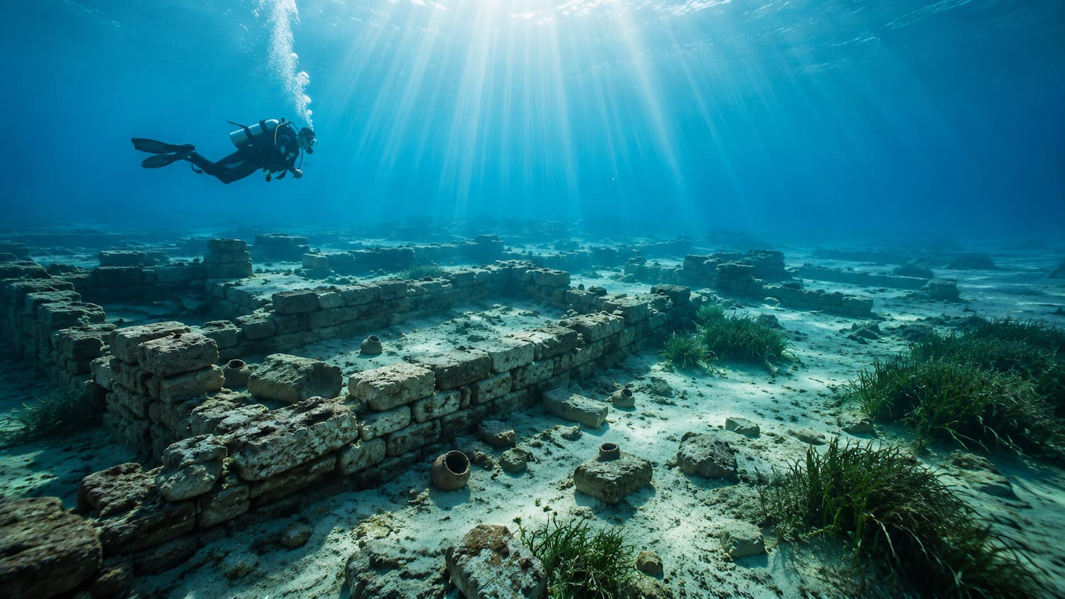
Photo: AI generated
Snorkeling over a five-thousand-year-old street
Today the site is protected under Greek law and forms part of the UNESCO-recognized cultural landscape of the region.1 Snorkeling above the ruins is permitted with restrictions; removal of anything, anchoring over the site and any contact with the remains are forbidden. From the surface, with a mask and snorkel, the experience is hard to translate: the midday Greek light falls vertically on the stones and the streets appear with a sharpness that seems artificial.
There are no colorful fish, no corals: there is human geometry underwater. A threshold. A corner. The rectangular hollow of a cist grave. The feeling is the opposite of visiting a museum: you are the exhibit, suspended, looking down at a city still exactly where its inhabitants left it.
What Pavlopetri says about water
Acquario di Bologna regards water as a form of knowledge, and Pavlopetri is its oldest lesson. The sea does not only hide life: it hides memory. For five thousand years, an entire city waited three meters down, in plain sight of anyone who knew how to look, until an oceanographer looked down and recognized it.
If a whole town could go unnoticed for millennia in shallow, busy, sunlit waters, how much more does our gaze ignore about the submerged world? Underwater archaeology keeps reminding us that the seabed is not a void: it is an archive we are still learning to read.2
A question for the reader
Pavlopetri sank without anyone writing down its name, and it survived precisely because the water kept it in silence. The next time you look at a calm sea, ask yourself: what would the water be willing to keep of your own life, if one day it had to keep everything?
Sources
Methodological note: the occupation dates (ca. 2800-1100 BC) and the three proposed seismic events reflect the descriptive consensus in the cited sources; research on Pavlopetri is ongoing and fine chronologies may be revised by future studies.
Footnotes
-
“Pavlopetri”, Wikipedia (English edition), accessed 2026. [Secondary; high reliability for consolidated facts: chronology 2800-1100 BC, rediscovery by Nicholas Flemming in 1967, Cambridge survey in 1968, sinking by earthquakes and subsidence, status as the oldest known submerged city.] ↩ ↩2 ↩3 ↩4 ↩5 ↩6 ↩7 ↩8
-
University of Nottingham, Pavlopetri Underwater Archaeology Project (2009-2016). [Primary; high. Digital mapping project using sonar and underwater photogrammetry.] ↩ ↩2 ↩3
-
BBC News, “Greek ruins could be world’s oldest” (2010). [Secondary; high. Coverage of the 2009 mapping and the extent of the site: buildings, streets and tombs documented.] ↩ ↩2
Topics
Newsletter
A weekly reading to see the aquatic world with clearer judgment.
Receive short, carefully edited reflections on aquatic life, ethical aquarium keeping, and applied science.
Subscribe